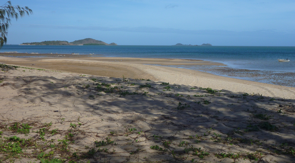
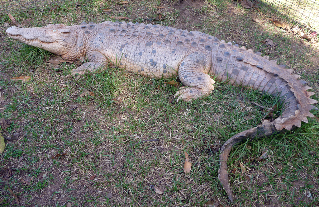
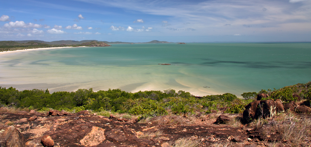
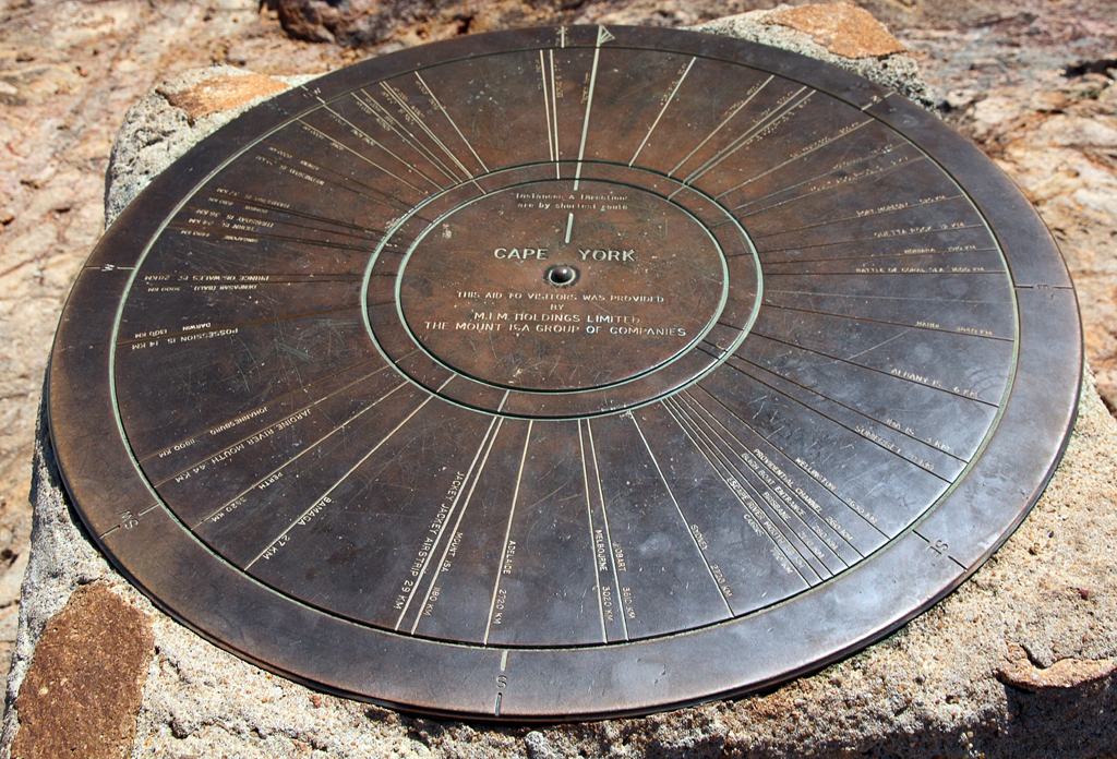
30/7/13 – We woke to blue skies, no wind and an amazing view that is so hard to take, trip up to the tip today and a look around the area.
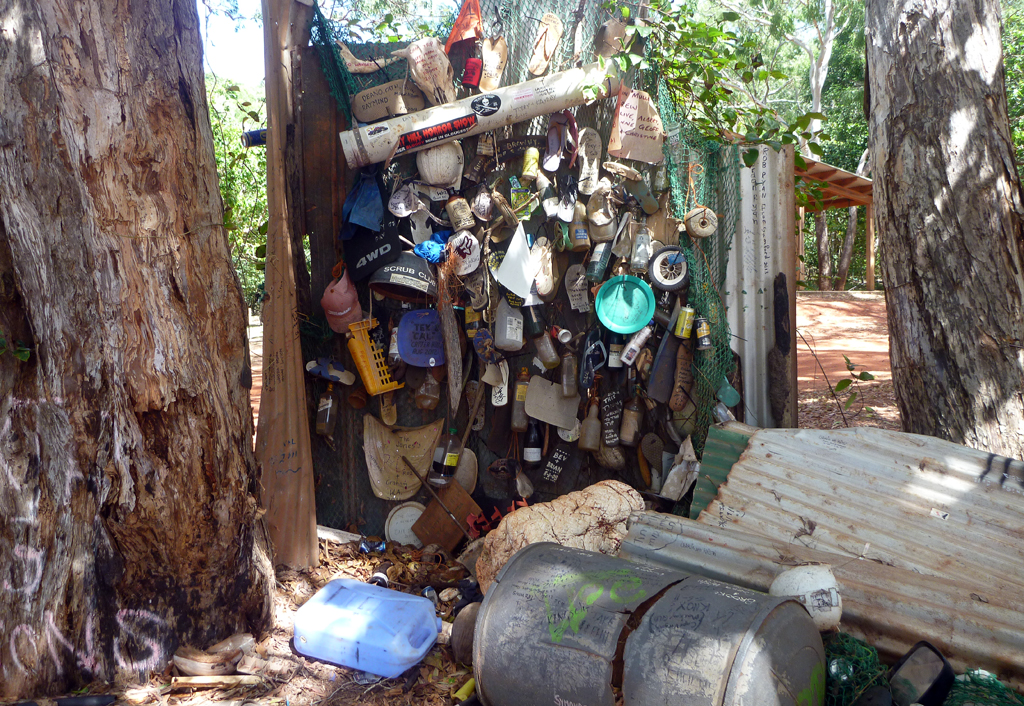
The roads are here are still mostly dirt. We took a shortcut to the main road that leads to the tip. First stop along the way was the Croc Tent. Stocks were a bit low so it was a little disappointing but as we found out it is the only place in the area that you can buy things that don’t have someone’s name all over them. We also got a free map of the area.
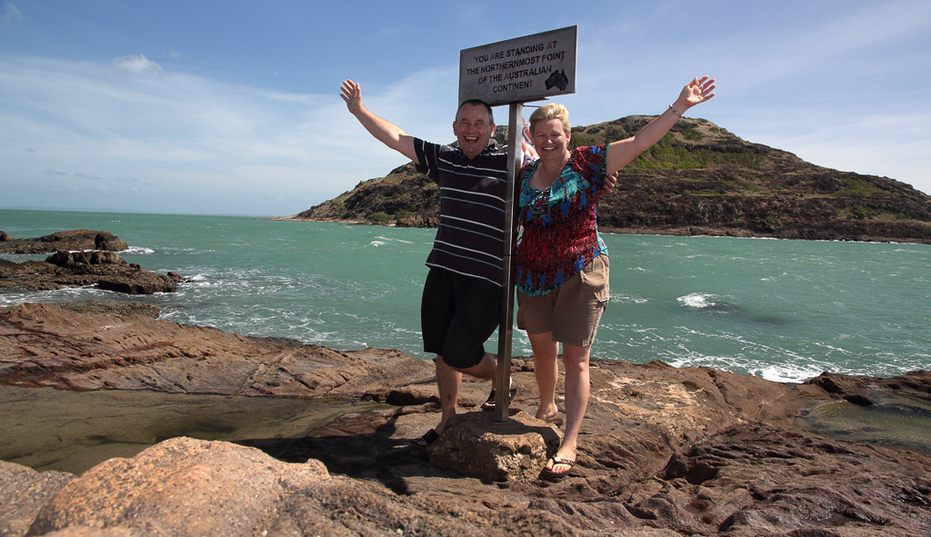
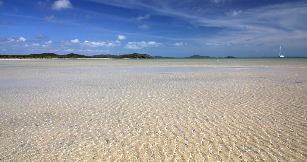
The road from there has dips, ruts, creek crossing and some muddy holes. Once we got there the car park was pretty full. We did a quick look at the beach before climbing the rocks to the tip takes about 15 mins. It was hot and breezy. We had the place to ourselves for 5 mins and set the camera up on the rocks with the timer for some photos. Was awesome to be there and was the main focus of this trip. There are great views, out to the islands over the blue water, with a dolphin frolicking in the water.
We walked back via the beach route, which we found easier and quicker.
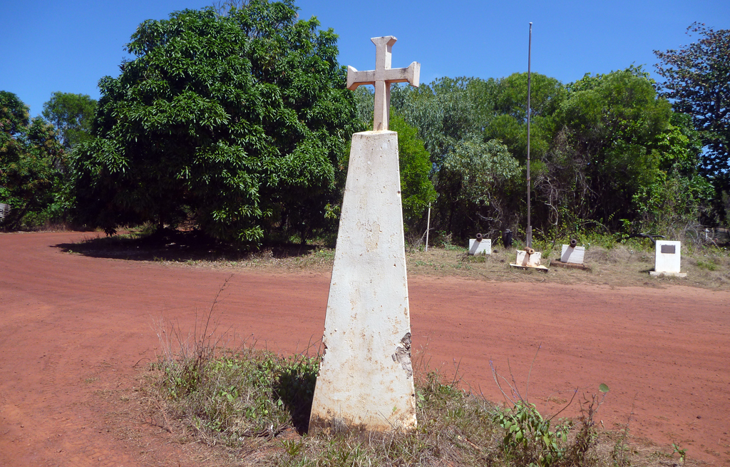
Next we drove to Somerset which has historical significant to the people in this area but not a lot there now. We went down to the beach for lunch, there is also a camping are there and toilets that are not maintained, there were very dirty.
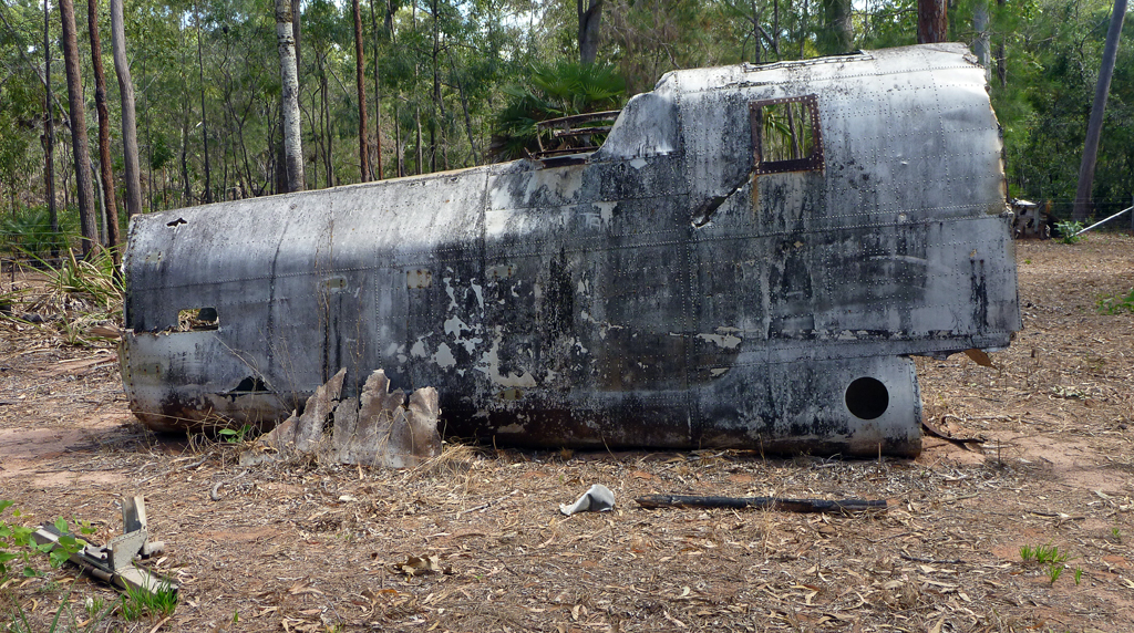
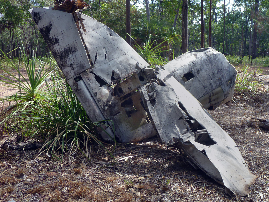
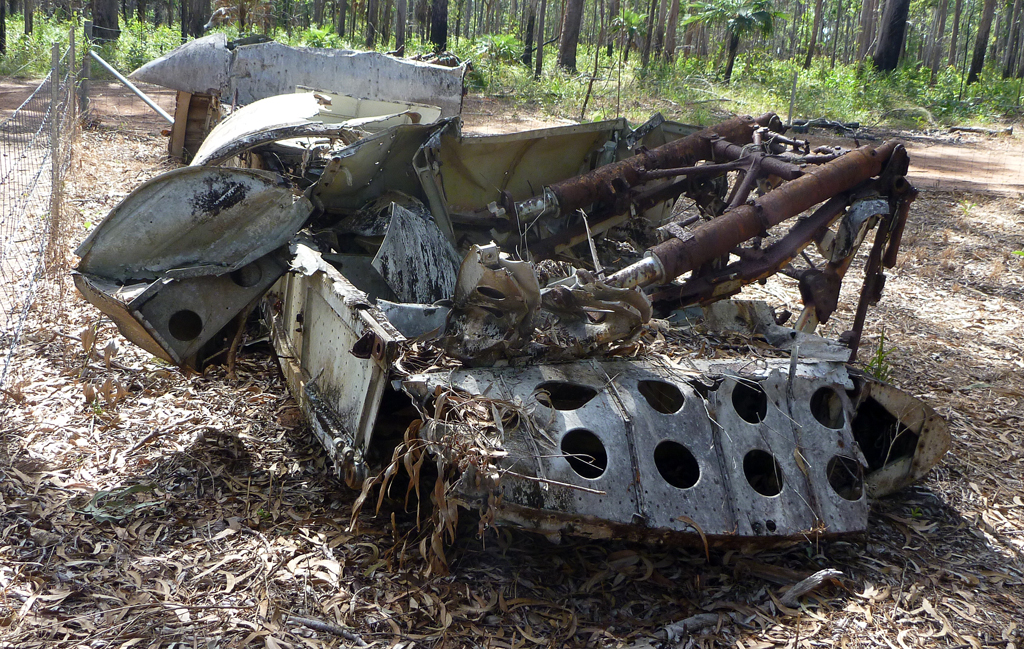
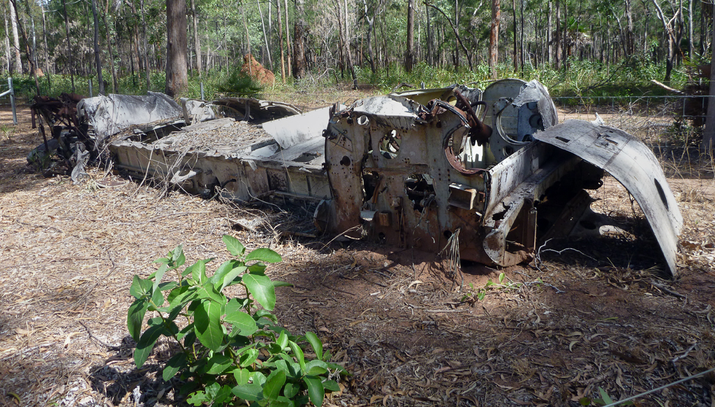
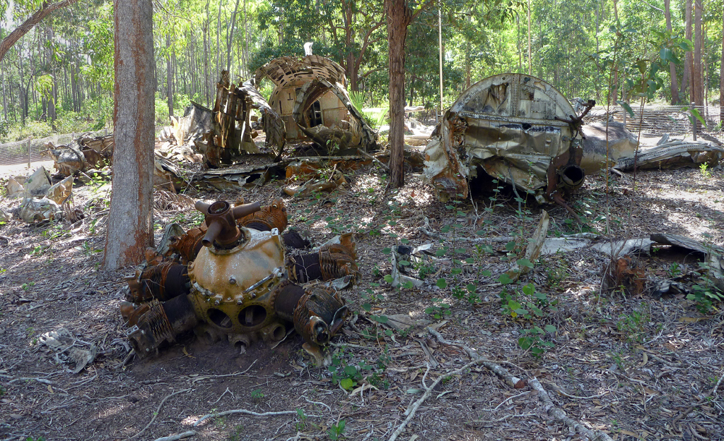
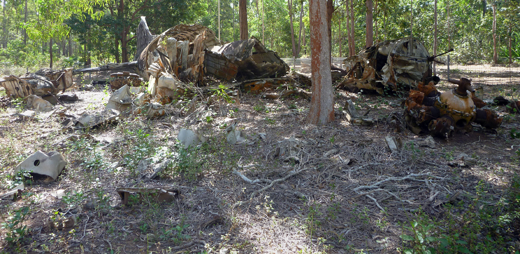
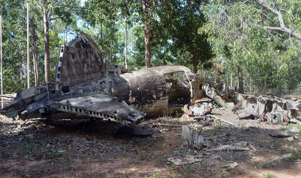
After chatting with some people over lunch we went to find the WW2 plane wrecks. First one we found was the WW2 Beaufort Bomber.
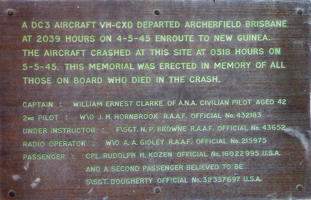
Next was the WW2 DC3 wreck. Both planes have fences around them and memorials to the crews who died in the plane crashes.
The third plane wreck has now been removed.
We then took a drive in to Seisa. Have to save we didn’t take to it, not a lot there. From what we could see we thought the park here looked better, but we have also heard other people say it’s really nice.
[googlemaps https://maps.google.com/maps?q=http:%2F%2Fgpx2kml.com%2Fpublic%2F2013%2F07%2F30%2F2joh2a7md_20130730LoyaltyBeachTip.kml&ie=UTF8&t=m&ll=-10.781035,142.47963&spn=0.161886,0.219727&z=12&output=embed&w=640&h=480]
Click on the link above for a larger version in Google Maps of the days travels.
