For those that follow our site, sorry for the delay in finishing posting our trip. When we got home we hit the ground running, with a grandson in hospital and a friend having a heart attack life got very busy. So we apologise for the delay. Hoping to get the rest of the trip done before the year is out
5/8/13 – It’s 1.30pm and we are finally leaving Cooktown. After filling up with fuel, filling gas, filling up with water with taps that leak like a sieve and finding we had a broken filler tap. So a visit to the hardware store was required, then visiting the info centre to find out info about the Old Coach Road from Laura to Maytown. They didn’t know much, so we made a call to the Palmer River Roadhouse, all sweet. Then it was lunch time, so lunch along the water, pan fried sandwiches again but with some pineapple as well 

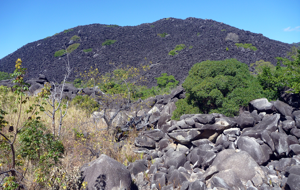
Mmm you meet all sorts on the road. We stopped at Black Mountain Lookout and met a guy who had duck taped all on the front of his sedan car to protect it from stone chips. The same guy who just took his car through creek crossings on the 4wd Bloomfield track, go figure.
The turnoff to Jowalbinna is approx. 2km north from Laura, there is a sign. All the km distances we specify are taken on a Garmin GPS and the starting point is from the turnoff at the Peninsular Development Road (PDR).
From there it is 36km into Jowalbinna. A few hundred metres along the road you will see a turnoff on the left to the rodeo, don’t take it keep going straight ahead, a sign to Jowalbinna lies on the ground.
The road is one lane wide, a few bull dust patches, some corrugations but overall not bad. Watch out for unfenced cattle. There are signs up as you pass through a station property about strictly no fishing, no shooting and no camping.
25.5km in we came to a rocky creek crossing, approach slowly it’s downhill and is pretty bumpy with bull dust, it also has a bumpy exit.
After the crossing the road narrows and appears to be less used. There is also a sandy creek crossing a bit further along that could have water in it depending on when one went through.
Just after you enter the Jowalbinna property there is a grid and a sign giving distances to different places. The road was also very rutted in places.
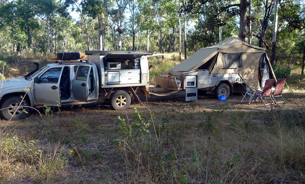
Well that was a bit disappointing. We got to the gate at Jowalbinna and it was locked. We tried calling them on the sat phone but no answer. Another 4wd also turned up wanting to go through. So we all had to find another place to stop for the night. We stopped less than a km from Jowalbinna on the Old Coach Road just before the Little Laura River crossing 32.0km from our starting point. We found a track that led to a bit of a clearing it even had firewood there ready for us to have a fire
[googlemaps https://maps.google.com/maps?q=http:%2F%2Fgpx2kml.com%2Fpublic%2F2013%2F09%2F30%2F1xymcwfrj_20130805CooktownLittleLauraRiver.kml&ie=UTF8&t=m&ll=-15.675932,144.772339&spn=1.2693,1.757813&z=9&output=embed&w=640&h=480]
Click on the link above for a larger version in Google Maps of the days travels.


