6/8/13 – There are lots of photos in this post, as they say a picture paints a thousand words, it’s the best way to show the road conditions. So many in fact that we have split this post up over 5 parts, make sure your read part 1 before reading this post.
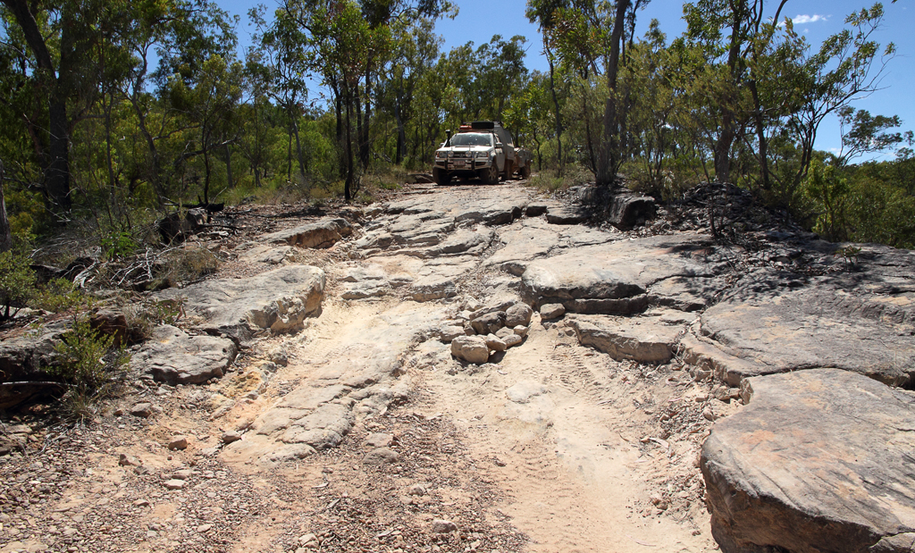
44.7km (from the turnoff at the PDR) you reach a plateau where the road is less rocky but rutted, windy then re starts with a gentle climb up, elevation 419m. Some parts of the road are very rutted
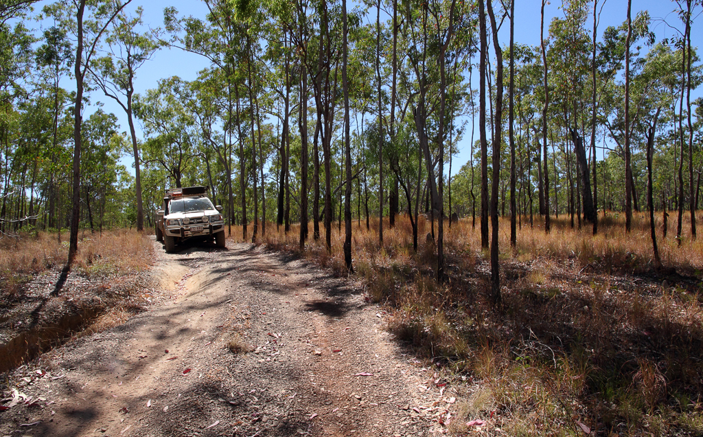


It really is a beautiful drive, the deep blue of the sky contrasting against the green of the trees and the red dusty trail and yellow grass.


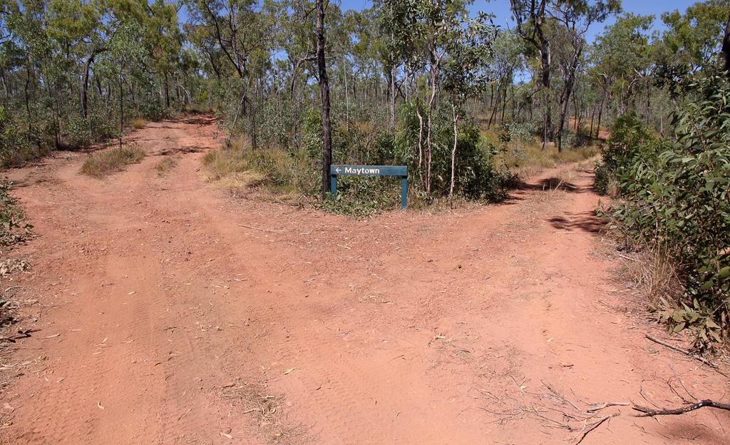
50.2km (from the turnoff at the PDR) there is a sign pointing left to Maytown, this is the easiest route, elevation 476m. The road on the right leads to RL Jack Monument. It meets back up with main track further along.
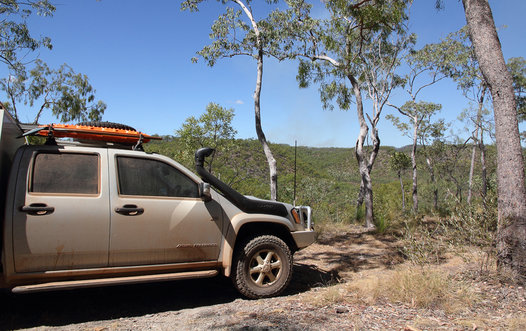
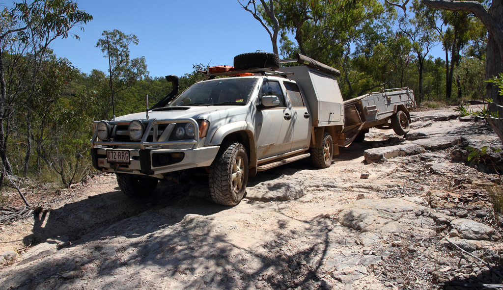
We stopped at 52.7km (from the turnoff at the PDR) and took in the awesome views, 435m elevation. Be a good place to stop for the night.

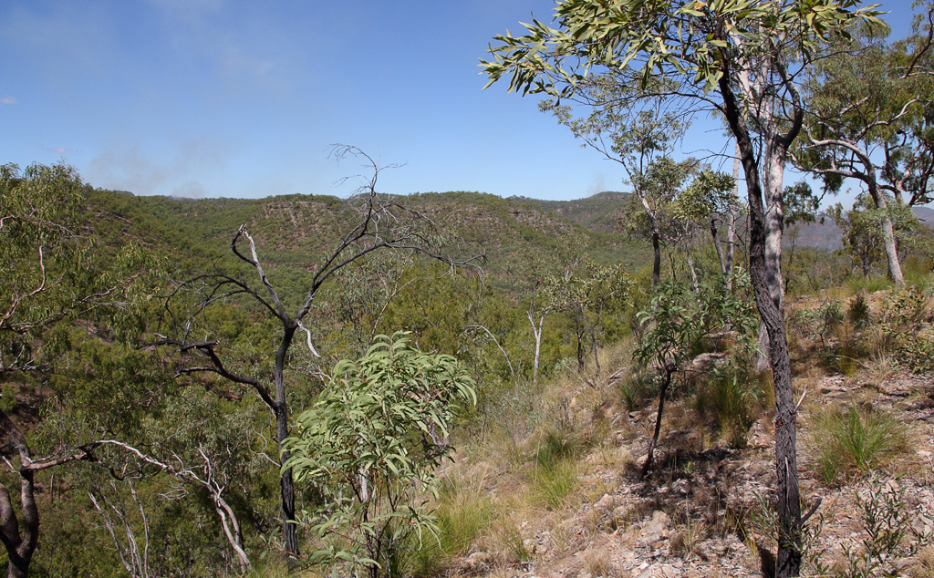


52.8km (from the turnoff at the PDR) from here is a steep long descent with deep rutted areas which cause some sideways lean and funny angles. Slow going, elevation near the bottom is 374m.


Go to part 3.